
4-5 February 2013 (Bangladesh, Bhutan)
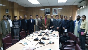
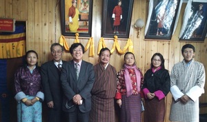
ADRC, conducting the research on the Asian and Pacific nations' needs to satellite data for the disaster management, visited Ministry of Disaster Management & Relief in Bangladesh on 4 February and Ministry of Home & Cultural Affairs in Bhutan on 5. In Bangladesh, experts for disaster management, satellite agency and mapping agency attended the meeting. In Bhutan, experts for disaster response attended the meeting. Due to the topographical condition and the lack of the adequate infrastructure, the two countries showed strong interests in the utilization of the satellite images for DRR including the emergency observation of the disaster area, such as flood, sediment disaster and Glacial Lake Outburst Flood (GLOF). Bangladesh has been active in collaboration with national space agency, In Bhutan, ADRC gave a status update on the Sentinel Asia Project and shared ideas about specific ways that satellite images can be (or are being) used in disaster mitigation activities.
(2013/2/18 13:40)